
Topographical, Microclimate & Solar Radiation Audits
Computational site analysis, annual solar radiation heatmaps, prevailing wind simulations, and slope assessments.
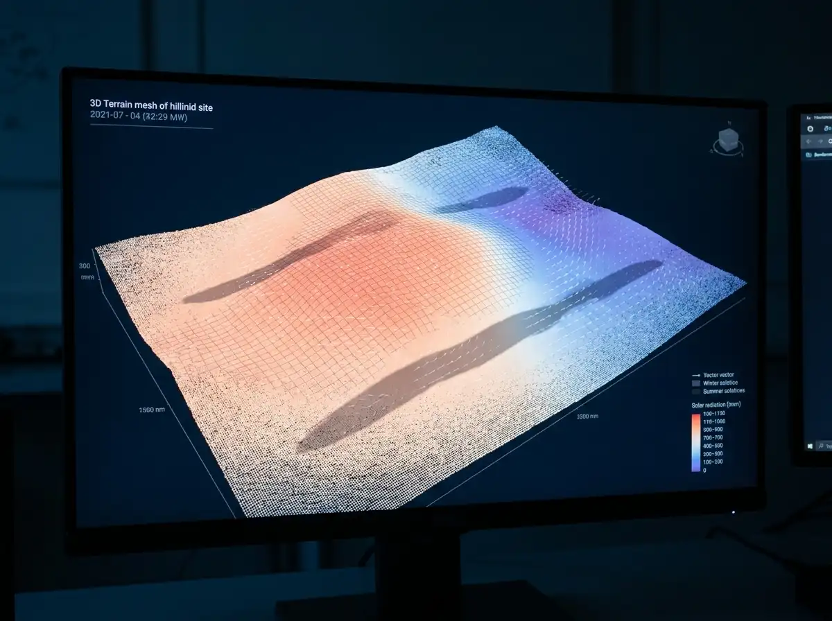
Before an architect draws a single line, the site itself holds all the essential answers. Rowui conducts scientific microclimate and topographical audits using high-resolution drone LiDAR data and computational simulation software. We calculate annual solar radiation heatmaps (kWh/m²), model winter and summer shadow patterns, and map seasonal prevailing wind vectors to determine the ideal placement, orientation, and massing for your residence.
Scope & Core Competencies
Our approach to topographical, microclimate & solar radiation audits integrates architectural theory, physical constructability, and regulatory code requirements.
- High-precision drone LiDAR topographical survey and 3D terrain mesh generation
- Annual solar radiation (kWh/m²) surface heatmap modeling for building massing
- Winter and summer solstice shadow cast diagrams analyzing surrounding tree cover
- Computational fluid dynamics (CFD) wind-tunnel simulation for prevailing seasonal breezes
- Slope gradient and geotechnical cut-and-fill suitability analysis
- View corridor raycasting identifying optimal window and terrace sightline vectors
- Microclimate acoustic noise contour mapping analyzing surrounding roadway sounds
Prospective land buyers conducting pre-purchase feasibility, complex sloped lots, and sustainable luxury commissions.
Tangible Client Deliverables
Upon milestone completions, clients and execution teams receive comprehensive, contractor-ready design documentation packages.
Studio Methodology
The Step-by-Step Delivery Process
How we guide your topographical, microclimate & solar radiation audits from initial brief discovery to completed execution documents.
LiDAR & Climatic Data Ingestion
Gathering satellite climate data, historical wind roses, and drone point clouds.
Computational Simulation Modeling
Running solar radiation simulations and wind vector airflow models across the terrain.
Topographic & View Analysis
Mapping natural slope benches, geotechnical constraints, and panoramic view angles.
Strategic Siting Dossier Preparation
Synthesizing data into actionable building footprint and orientation recommendations.
Informed Guidance
Frequently Asked Questions on Topographical, Microclimate & Solar Radiation Audits
Detailed technical and procedural guidance regarding topographical, microclimate & solar radiation audits commissions, contractor coordination, and building code compliance.
Complementary Disciplines
Related in Technical & Visualization
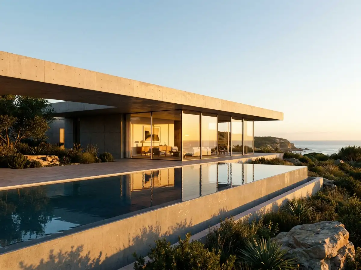
3D Photorealistic Architectural Visualization
CGI still renderings, daylight progression studies, aerial drone composites, and virtual reality walkthroughs.
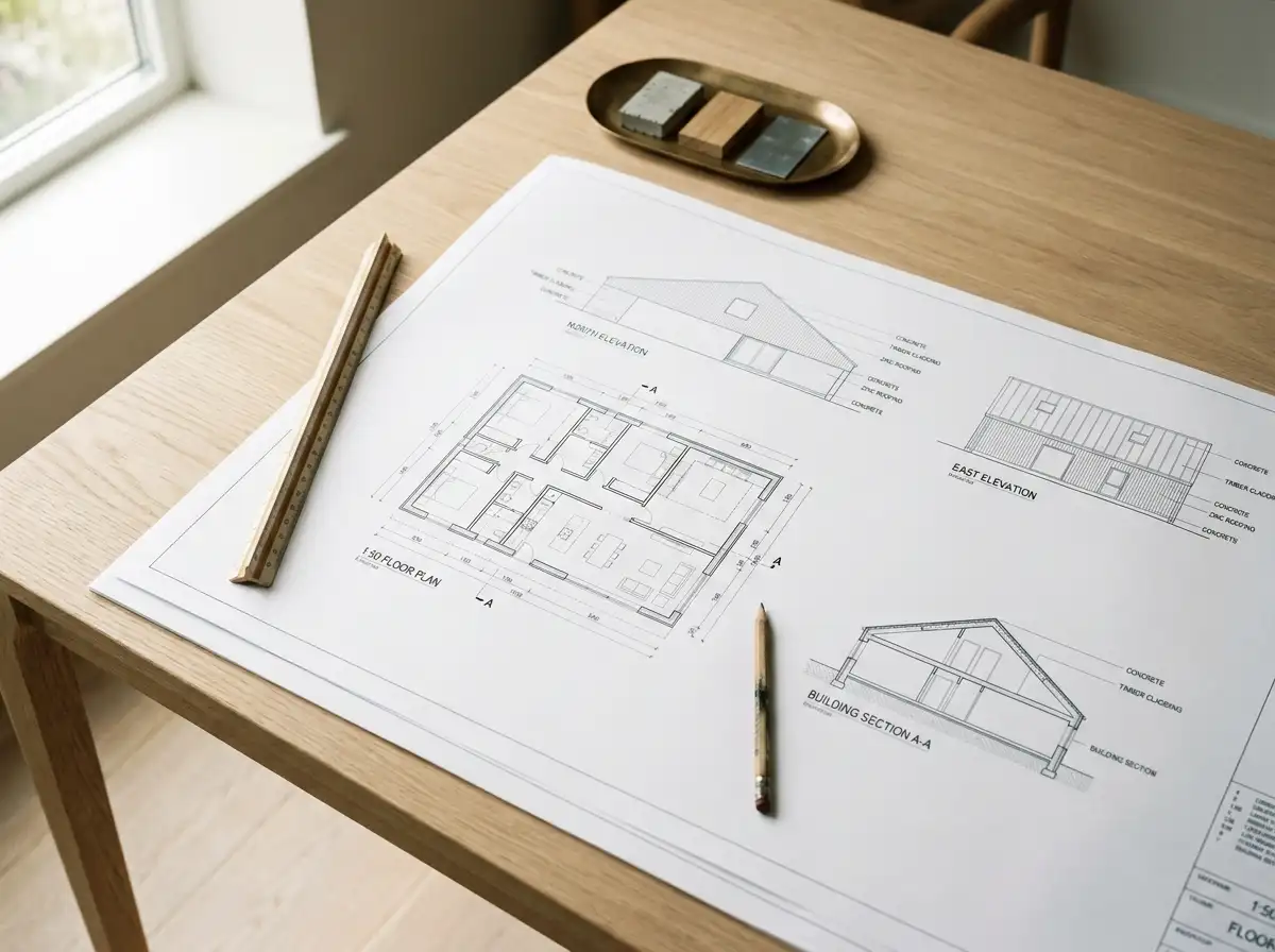
Comprehensive Construction & Working Drawings
Exhaustive architectural drawing sets with dimensional accuracy, section details, and engineering coordination.
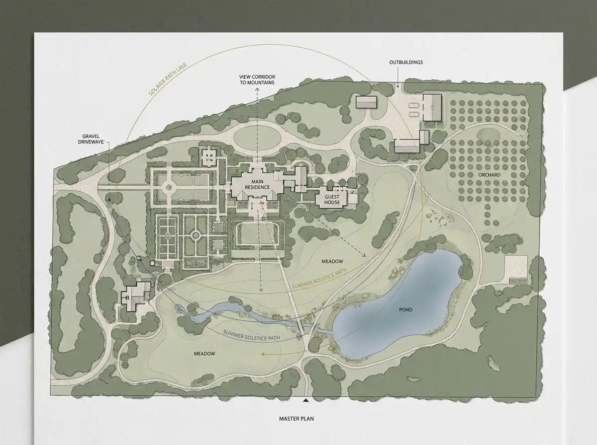
Estate Master Planning & Site Feasibility
Strategic master planning balancing primary residences, guest villas, wellness pavilions, roads, and land preservation.
Start a Project
Ready to start a conversation?
Whether you have a detailed brief or an early idea, Rowui is happy to discuss your project and explain how the studio can help.